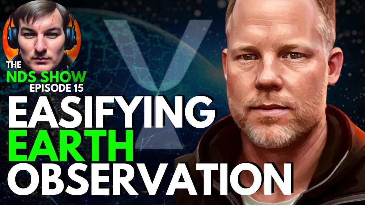
Welcome to our latest podcast episode where we sit down with Luke Fischer, the CEO and cofounder of SkyFi, a company revolutionizing the world of satellite imagery. We delve into the fascinating journey of SkyFi, exploring their cutting-edge earth observation application that is reshaping how we order satellite imagery, including Electro Optical, Thermal, Synthetic Aperture Radar, and Multi-Spectral. In this in-depth conversation, we explore the birth of SkyFi, its key customers, and the obstacles faced during its inception, drawing parallels to the trials of companies like Uber.
We discuss the importance of strategic partnerships, identifying the right partners, and how they’ve crafted an engaging online presence. We tackle critical topics such as privacy concerns in the age of ubiquitous satellite imagery and how SkyFi is driving change in the climate space. Luke shares some success stories and case studies, the ongoing evolution of their app, and the intriguing concept of humans as sensors.
For those interested in breaking into this dynamic market, Luke shares valuable advice based on his experiences leading a startup. We also take a step back to look at Luke’s personal journey – his transition from a veteran to a CEO, his experience in the Iraq war as a Jr. pilot, and how these experiences have shaped his leadership style.
We wrap up with a tour of SkyFi’s Austin HQ, a sneak peek into the GEOINT Symposium, an overview of their imagery options, and a glimpse at emerging technologies in this space. Whether you’re a tech enthusiast, an aspiring entrepreneur, or simply curious about the world of satellite imagery, this podcast is packed with insights.
Get in touch with SkyFi and learn more about the future of earth observation technology.
Twitter: https://twitter.com/SkyfiApp
LinkedIn: https://www.linkedin.com/company/skyfi-imaging/
Instagram: https://www.instagram.com/skyfi.app/
Download the Sky Fi App:
Apple App Store: https://apps.apple.com/app/skyfi-app/id6443393891?pt=1124015846&ct=Web_SkyFi_iOS_ZZ_DownlodAppPage&mt=8
Is THIS the DAWN of WWIII? American Missiles Enter Russia, Trump to Clean Up


The Challenges and Triumphs of Launching Synthetic Aperture Radar Satellites: An Inside Look at Umbra


Why Synthetic Aperture Radar (SAR) is CRUCIAL for Earth Observation w Umbra Space’s Gabe Dominocielo


REIMAGINE Geospatial Intelligence with Former NGA Director Robert Sharp


$127 BILLION Geospatial Intelligence (GEOINT) Industry: Government Contracting & Commercial SUCCESS


How Geographers Use Drones to Learn About the World


